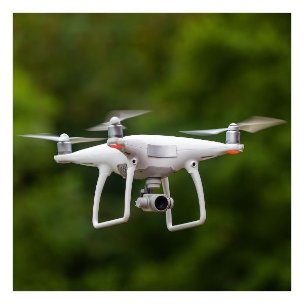
At Vizcaya Land Surveying & Mapping, we are leading the charge in revolutionizing data collection through drones for topographic surveys. This cutting-edge technology is transforming traditional methods of land surveys in Miami, Florida, and the surrounding areas, providing enhanced precision and efficiency that benefit clients. Keep reading to learn more!
Drone Surveys: Revolutionizing Data Collection in Land Mapping

What are Drone Surveys?
Drone surveys utilize unmanned aerial vehicles (UAVs) equipped with high-resolution cameras and GPS technology to capture detailed data about the land. These surveys create topographic maps and 3D models that reveal critical information, making it easier for professionals to visualize and analyze terrain. Our skilled land surveyors in Miami are harnessing this technology to deliver comprehensive data quickly and accurately.

Advantages of Drone Surveys
The advantages of drone surveys are numerous. First and foremost, they significantly reduce the time required to collect data, often completing tasks in a fraction of the time compared to traditional methods. Additionally, drones can access hard-to-reach areas without compromising safety, minimizing risks for survey teams.

Applications of Drone Surveys in Land Mapping
The applications of drone surveys in land mapping are vast. In construction projects, land surveyors in Miami can create accurate base maps to guide development. Environmental monitoring is another critical application, as drones can assess changes in land use and vegetation over time. Moreover, these surveys empower real estate professionals by providing precise boundary lines and site analysis for potential buyers.

Innovative Technology in Drone Surveys
At Vizcaya Land Surveying & Mapping, we leverage the latest advancements in drone technology, including LiDAR and photogrammetry. These innovations allow for high-resolution data collection and analysis, resulting in more reliable outputs for topographic surveys in Miami.
Drone surveys are revolutionizing land mapping by delivering fast and accurate solutions. If you're considering land mapping, contact our land surveyors in Miami at Vizcaya Land Surveying & Mapping. Let us elevate your project with our expertise in drone technology and topographic surveys!
