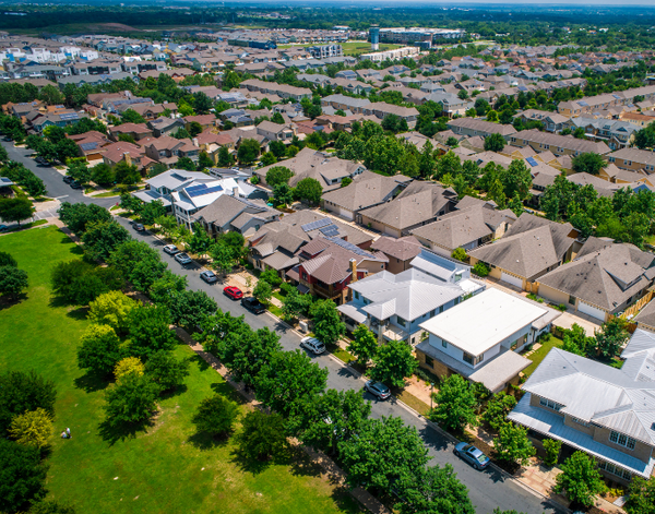
Flood Elevation and Construction Surveys in South, Central, and West Florida
Elevate Your Projects
With Flood Elevation and Construction Surveys
Get a Quote South FL Office: (305) 223-6060 Central FL Office: (305) 428-7496


Experience precision and accuracy with Vizcaya Land Surveying & Mapping, your ultimate destination for exceptional flood elevation and construction survey services. Our mission is to equip you with the precise information necessary to seamlessly navigate the intricacies of property assessment and development decisions with confidence.
About Our Construction Surveys
Our surveying and mapping company specializes in delivering a diverse array of construction surveying services designed to meet the unique requirements of our clients. Construction surveys are commonly used in the land surveying industry to provide detailed and accurate information about a property's boundaries, structures, elevations, and other essential features. We provide the following breakdowns:
Flood/Elevation Certificates: Our detailed surveys and precise measurements provide you with the necessary information to understand your property’s flood risk and elevation levels, crucial for insurance and compliance purposes.
Site Plans for Building Permits: Our accurate site plans are designed to assist you in obtaining building permits by providing a comprehensive overview of your property, highlighting boundaries, structures, and other essential features.
ALTA Surveys: Our experienced team conducts ALTA Surveys to meet the stringent requirements set by the American Land Title Association, ensuring that all relevant details of your property are properly documented. These surveys are commonly used in commercial real estate transactions to provide detailed information about a property's boundaries, easements, and encumbrances, helping parties make informed decisions.
Advantages of Using Vizcaya for Your Next Survey
When you entrust Vizcaya Land Surveying & Mapping with your construction survey requirements, you unlock a host of advantages that set us apart as industry leaders. Our property surveyors bring a wealth of experience to the table, equipped to handle projects of any scale or complexity with ease, providing you with the expertise needed to navigate the intricacies of the surveying landscape effectively. Beyond just delivering results, our sectional breakdowns serve various purposes, including:
Property Development: Our sectional breakdowns play a crucial role in property development projects by outlining the precise boundaries of a land parcel, highlighting any structures or features that need to be considered during the development process.
Regulatory Compliance: These breakdowns are often required to ensure compliance with local building codes, zoning regulations, and other legal requirements. They provide the necessary information to facilitate the permitting and approval processes.
Risk Assessment: Sectional breakdowns, like flood/elevation certificates can assess the risk of a property, which is essential for determining insurance premiums and addressing potential hazards.
As-Built Surveys: Similar to final construction surveys, they document the precise location and features of a completed project, recording any changes made during construction.
Ready to get started?
Vizcaya Land Surveying & Mapping stands as your trusted partner in providing unparalleled services that exceed expectations. Our surveyors are dedicated to empowering our clients with the data and insights needed to make informed decisions and propel their projects forward. Contact us today to discover how our solutions for new construction can elevate your land surveying experience and unlock the full potential of your property endeavors.