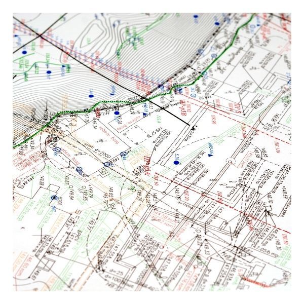
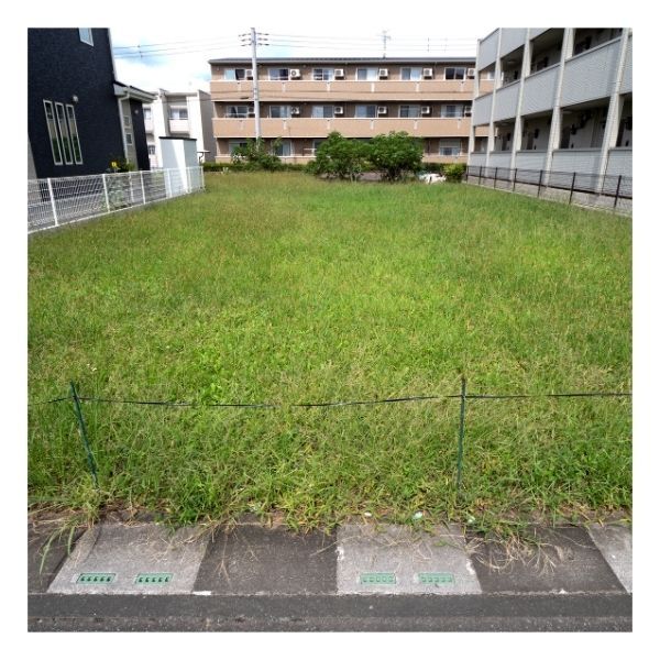
In the vibrant landscape of Ocala, Florida, land development requires precision and expertise. At Vizcaya Land Surveying & Mapping, we understand that topographic surveys are essential for a variety of projects, from vacant lots to defining boundary lines. Let’s explore the versatility of these surveys and how they contribute to successful developments.
From Vacant Lots to Boundary Lines: The Versatility of Topographic Surveys in Various Landscapes

What is a Topographic Survey?
A topographic survey is a detailed and accurate representation of the natural and man-made features of a parcel of land. This includes contours, elevations, trees, and existing structures. By utilizing skilled land surveyors in Ocala, our team delivers crucial data that informs design and planning decisions, ensuring projects are tailored to the terrain.

Applications in Vacant Lots
Vacant lots often present unique challenges, necessitating comprehensive analysis. A topographic survey assists developers by identifying potential issues such as drainage problems or significant elevation changes. With precise mapping, stakeholders can make informed decisions that streamline construction processes and minimize costly modifications down the line.

The Importance of Clear Boundary Lines
Establishing clear and accurate boundary lines is vital for property ownership and dispute resolution. Our land survey services in Ocala ensure that property lines are well-defined, reducing conflicts and fostering neighborly relations. Clear boundaries not only enhance property value but also provide peace of mind to homeowners and real estate developers alike.

Role in Construction Projects
Topographic surveys in Ocala play a crucial role in construction projects, ensuring every venture is built on a solid foundation of accurate data. With precise measurements, land surveys help identify potential obstacles, such as drainage issues or elevation changes, allowing for efficient planning and resource allocation.
The versatility of topographic surveys is undeniable, serving critical roles in land development and planning. If you need expert land survey services in Ocala, contact Vizcaya Land Surveying & Mapping today. Let us help elevate your project with our FAA-licensed surveying expertise!
