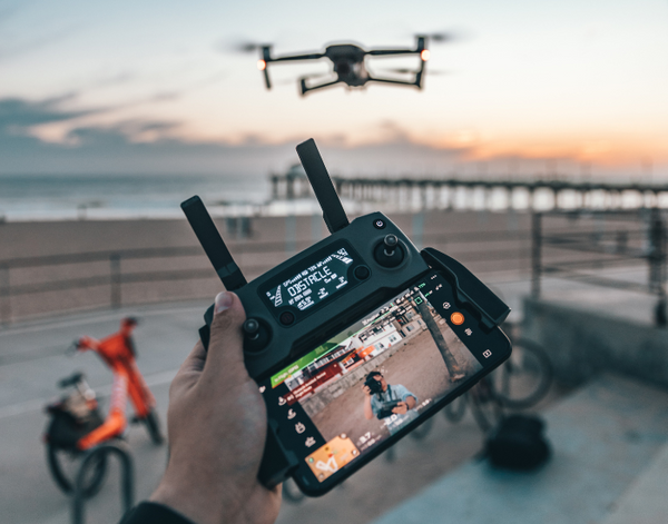
Drone Surveys in Florida
Experience Improved Accuracy and Efficiency With Drone Surveys


Looking for accurate land surveys in South, Central, and West Florida? Our advanced land surveying services leverage advanced drone technology to provide innovative solutions. Vizcaya Land Surveying & Mapping’s drone surveys offer accurate and detailed data, revolutionizing the way land surveys are conducted. Let us show you how our drone surveys can benefit your projects.
About Our Drone Surveys
At Vizcaya Land Surveying & Mapping, we are industry leaders in harnessing the power of drone technology to conduct precise, efficient, and comprehensive land surveys. Our team of skilled local property surveyors specializes in utilizing the best drones for land surveying equipped with high-resolution cameras and advanced mapping software to capture detailed data with unmatched precision. With our drone surveys, we excel in not only accelerating the data collection process but also in covering expansive land areas in significantly reduced time frames. Leveraging the latest advancements in drone technology, we are committed to delivering survey data of the highest quality that not only meets but exceeds industry standards, ensuring that our clients receive accurate and reliable information for their projects.
How Drone Land Surveys Are Used and Their Benefits
Drone land surveys are utilized across various industries, including construction, agriculture, real estate, and environmental conservation. These surveys offer numerous benefits compared to traditional land surveys:
Accuracy: Drone surveys provide highly accurate data, reducing the margin of error in measurements and mapping. With advanced sensors and imaging technology, drone surveys offer unparalleled accuracy in assessing land features, boundaries, and topography.
Efficiency: One of the key advantages of drone surveys is their remarkable efficiency in covering large areas in a fraction of the time required by traditional surveying methods. Equipped with high-speed cameras and sophisticated mapping software, drones can swiftly navigate and capture data over vast expanses of land, saving valuable time and resources for project stakeholders.
Cost-Effectiveness: By minimizing the need for manual labor and equipment, drone surveys can be a more cost-effective option for land assessment.
Safety: By eliminating the necessity for surveyors to physically access hazardous or hard-to-reach areas, drones mitigate risks and enhance on-site safety measures. Survey teams can conduct thorough and accurate assessments from a safe distance, promoting a secure working environment and minimizing potential accidents or injuries.
Environmental Impact: By reducing the use of vehicles and equipment, drone surveys have a lower environmental impact compared to traditional methods.
Ready to get started?
Experience the future of land surveying with our advanced drone technology services in South, Central, and West Florida. Whether you're planning a construction project, managing agricultural land, or conducting environmental research, our drone surveys can provide you with the precise data you need. Contact Vizcaya Land Surveying & Mapping today to learn more and schedule a drone survey for your next project. Embrace innovation, accuracy, and efficiency with our drone surveying solutions.